| PROGRAM TYPE | FILE SIZE |
| DESKTOP GEOGRAPHIC | 5.6 GB |
CONTACT TO ORDER 089637202592
ESRI ArcGIS Desktop 10.8.2 Extensions
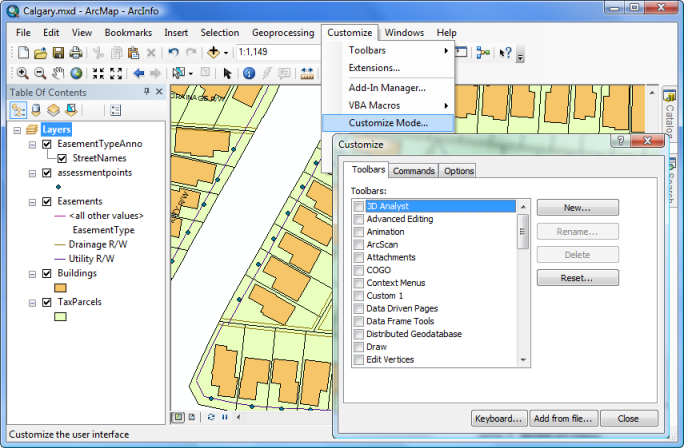
ESRI ArcGIS Desktop is a desktop geographic information system with maximum functionality in the ArcGIS product line. ESRI ArcGIS Desktop includes all the functionality of ArcGIS for Desktop Basic (ArcView) and ArcGIS for Desktop Standard (ArcEditor) and is extended with additional tools for spatial analysis and data processing, as well as Professional mapping tool. In the world of the geographic information system ArcGIS for Desktop Advanced (ArcInfo), ‘de facto’ is the GIS standard and is used every day in thousands of organizations to create, edit and analyze data.
ArcGIS Data Interoperability extension for Desktop is an integrated spatial ETL software suite that runs as part of geoprocessing using Safe Software’s FME technology. It allows you to combine data from several sources and in different formats, use this data with geoprocessing tools, and publish them using ArcGIS for Server.
The ESRI ArcGIS Desktop program includes:
- ArcGIS Pro
- ArcMap, ArcCatalog
- ArcGIS Online Level 2 Named User Account and 100 Service Credits
- Outstanding features of ESRI ArcGIS Desktop:
- map analysis
- geographical analysis


